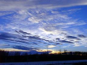
Multiple Layers of High Altitude Clouds
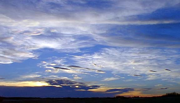
Of course you can make out a series of high cirrus cloud that signals high winds in the jet stream, but the little lens type clouds in the top picture seen on the right are lenticular clouds formed from high winds in mountainous regions and once formed they just float along. On the right these clouds actually form waves of warm air that have wafted aloft bouncing off the mountain slopes and the moisture forming cloud as it chills much higher up.
These pictures also contain alto stratus clouds layers of air trapped at very high altitude taken their by very warm temperatures. And, the fourth type of cloud in these images are alto cumulous clouds. Fluffy cumulous clouds normally form in the lower atmosphere but when things heat up they can form much higher.
The temperatures remained above freezing over night because of this warm air and there was water forming on top of frozen sloughs and most of the snow vanished over night.