| Confusion Aloft |
|
|
| FTLComm - Tisdale - July 5, 2000 |
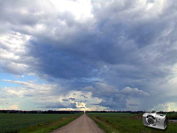
For more than a month Ensign readers have suffered through a diet of video images
which just can not cut it for clarity unless they are very small. Yesterday the
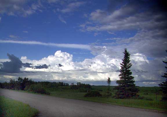
long awaited replacement digital camera arrived and all is right with the world.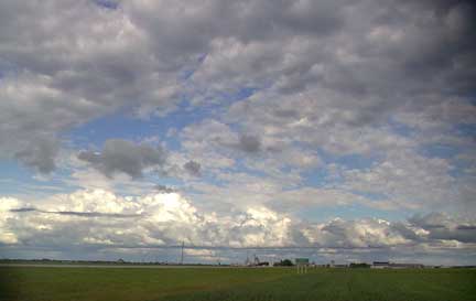 After a partly cloudy day with very wet unstable air around the evening looked like this, multiple layers of cloud with low cumulus, tower cumulus, some stratus and everything in between as the unstable air mass passed by but avoided leaving any rain behind in Tisdale. The picture above was taken at about 6:30 and shows the sky looking due South only a mile West of Town. From that same location we look toward town and see the build up of towering CB activity moving past to the Northeast. |
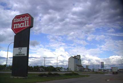 This picture taken from the mall parking lot shows the large amount of incidental low cumulus about two thousand feet up and in the distance that same system of storm clouds behind the UGG elevator which is soon to be removed. Skies like this are almost tropical in nature, more the sort of thing one might see in the Caribbean or in South East Asia associated with a great deal of moist warm air but quite unlike the terror filled black monsters of South Central United States were the vertical development is distinct and because of the extreme temperature differentials the up and down air speeds product such a large number of tornados. |
| Below is a 90 degree QuickTime VR composed of four pictures taken in front of the Tisdale hospital looking East. This image graphically illustrates the low layer of cloud and then beyond it the higher and more vertical towering rain clouds. |
|
|
 This view
of the same cloud seen in several other images on this page was taken at the North
East edge of Tisdale as we look out across the country and see the various layers
of cloud with the backdrop of the Doghide Creek and its wooded scenery. This view
of the same cloud seen in several other images on this page was taken at the North
East edge of Tisdale as we look out across the country and see the various layers
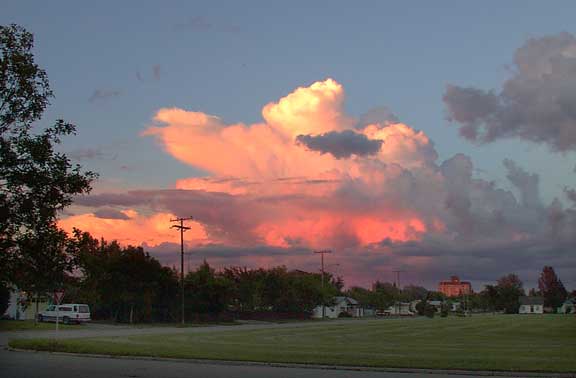
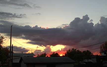
of cloud with the backdrop of the Doghide Creek and its wooded scenery.On the right is a view of the clouds about two hours later as sunset is occurs and the clouds are given a cast of reds and indigoes. This picture is taken from the back step to our house looking West North West. The picture below is taken at the same time looking East across the football field as the large nimbo stratus cloud is illuminated before it moves on toward Manitoba to empty on the Dauphin area. |
|
|