| Marching Along |
 |
| FTLComm - Tisdale - July 6, 2000 |
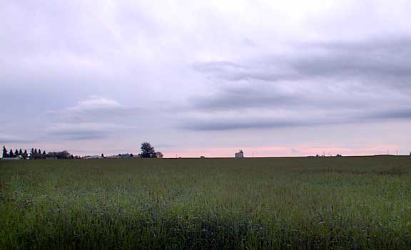
| Rain halts this morning just after 7:30 as this picture looks East across a headed
out field of Durham. Below is a magnificent anvil formation that left hail in White
Fox yesterday. The typical blown out formation indicates a particularly active storm
cell which in effect is a sort of mushroom cloud where the hot rising air rushes
upward carrying with it the falling rain to freeze it as it reaches the top of the
formation it descends accumulating addition water to its surface then is sent back
up to the top to refreeze. Repeated cycles like this produce large hail like the
golf ball size stuff that fell near White Fox. |
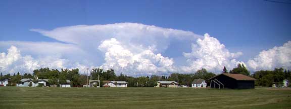 |
| In the picture above and the one below not only is the massive anvil visible but you can see strong vertical development with new and younger cells developing much closer to us then the anvil in the distance. Keep in mind that the top of that anvil is about seven miles high and from the angle you are looking at it this cell is a very long distance away. |
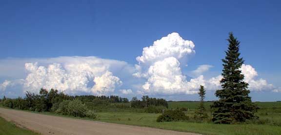 |
| Here is another view of the same set of clouds as they move off to the South East
(above) and you can see how much the new clouds are rising in only the few minutes
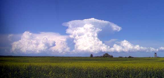
between these images. Below we look at them now with the youngest and closest cloud already beginning to produce its own anvil formation as it now is a fully mature hail producing cell. The foreground of the first and last pictures on this page add considerably to the setting as we can see the advanced wheat crop that will soon begin to ripen and the canola crop delayed by the cold weather but now beginning its flowering stage. Warm weather will increase the blossoms and for every flower oil rich canola seeds. |
 |