I grew up fifteen miles north of Kenosee Lake and it was an integral part of my whole life as it was there I met my lifetime partner. For my parents and my family it was not just a place to play but for many years a place of employment and so it was the thing to do as my father set forth Wednesday to go back down to the Lake from Regina and check things out.
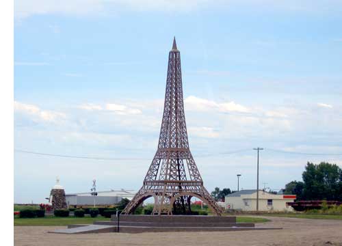
But first he made a stop in Montmartre and took this picture of the Effel Tower that now symbolises that community.
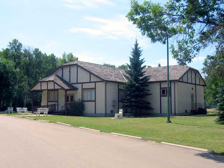
 I remember the construction of the recreation hall at Kenosee (above) but it sure looks a lot different now then it did when I used to hold "hootenannies," folk sing alongs, in the woods on the sourth side of the building. It was there that we first began square dancing and for the people who lived at the lake in the summer it was the centre of the communities activities including Sunday church services.
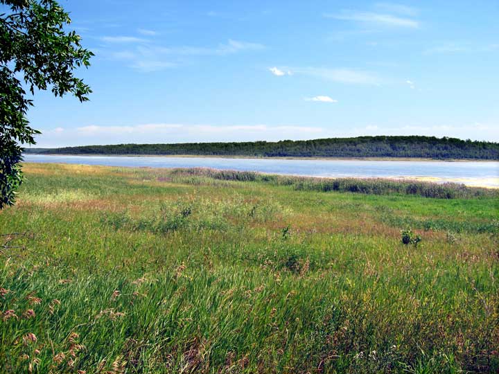
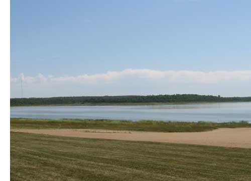
This picture looks west at the beach toward the once submerged 1930s ball diamond now sitting high and dry.
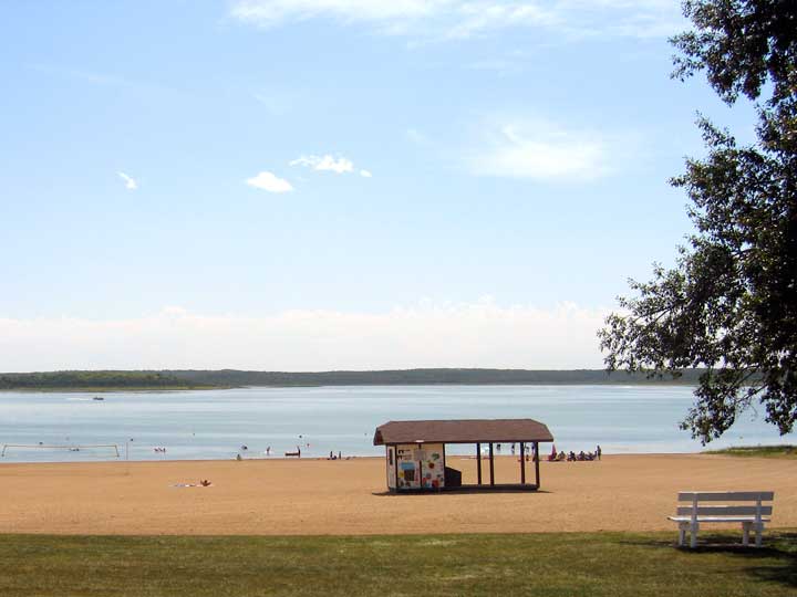
 Above is the outstanding beach that was always the main attraction at Kenosee. Learning to swim there or chipping a tooth on the slide all were a part of life. On the right looking from the main beach is what once was "Hog Island" which now is no longer an island as the pitiful shrunken lake is perhaps about half the size it was when I worked at the park store just up the beach.
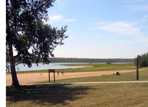
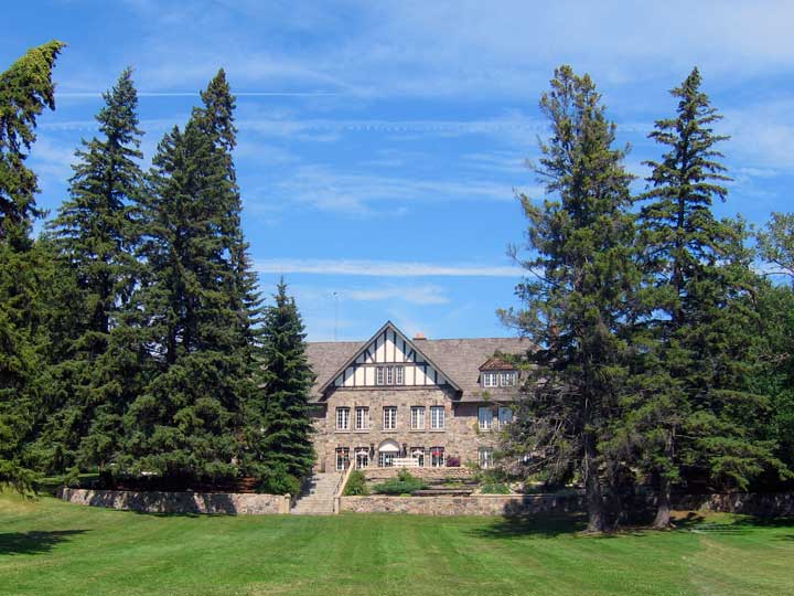
Below is the beach view of the Chalet. I remember when that stone wall in front was being build beside the road at the time.
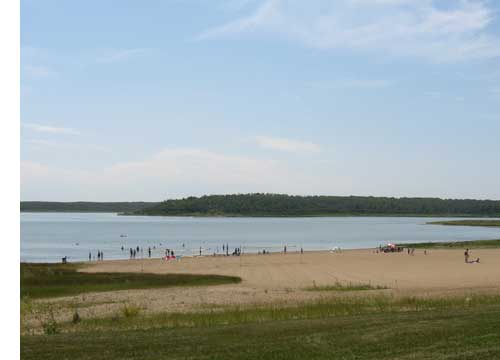 This view (right) is from in front of the Chalet looking out over the beach toward "the point". My father had several boats over the years and we later had one of our own and the excellent shape of Kenosee and its three areas to launch a boat from made it ideal for all forms of water sports. You could water ski, canoe or fish to your hearts content on this lake and even in its reduced form it still is the case.
There were rumors that the water went because of the oil exploration in the immediate area but what ever the case the water level has simple gone away down even in times when there has been plenty of run off.
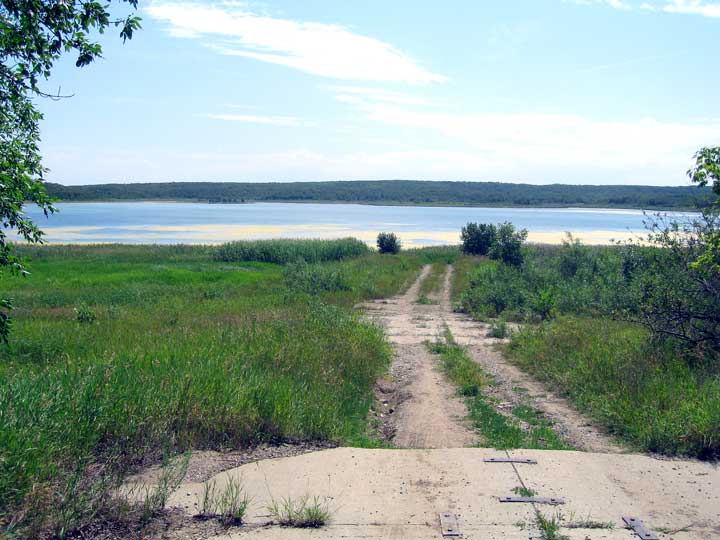
Below is the west boat launch were we always found a safe place to put the boat in the water beside a huge government pier which is now long gone. In this picture this spot was the water's edge and you can see another set of boat launch surface was installed when the water went down and now it too is a very long ways from the shore. This is at the extreme west end of the lake and a short distance from the outstanding campgrounds where we actually lived for the summer of 1964 or 63.
Return to Ensign or Saskatchewan News |
| This page is a story posted on Ensign, a daily web site offering a variety of material from scenic images, political commentary, information and news. This publication is the work of Faster Than Light Communications . If you would like to comment on this story or you wish to contact the editor of these sites please send us email. |
Editor : Timothy W. Shire |