 |
what was a definite dry spell
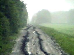
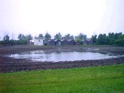
this rain is a welcomed relief to all. However, the lack of moderation in our weather patterns during the past ten months continues to present us with one unusual event after another. Fall was extensively delayed and extended so that we did not have snow for Christmas then winter was abbreviated and replaced with a very long spring. The very cold period in June is most unusual since in this latitude a night with temperatures below freezing is possible every month of the year but several days of freezing in June is just not a common occurrence. Authorities on climate are pretty much in agreement that the warm equatorial current in the Pacific is responsible for these dramatic weather occurrences and you might want to take a look at what Environment Canada has to say about El Nimo and the Weather Channel also has an interesting page on the topic. This much needed rainfall brought a huge number of cancellations for various events throughout the province and it appears that the precipitation will continue for at least two more days. The weather system that we are experiencing is a truly giant weather system in the Gulf of Mexico that is pumping very wet air at high altitudes. The system is almost stationary but as with all things, it will eventually weaken. On the next page are a couple of weather presentations borrowed from PointCast (PointCast is a free news service that can be downloaded in about a half hour) that demonstrate the present conditions. We have added some blue arrows to indicate the flow of the wet air around the Low pressure area in Northern Manitoba and the precipitation spreads out from Calgary to Manitoba. The second weather map from Pointcast shows |
||||
 |
|||||
![]()
![]()
![]()