|
|
| FTLComm - Tisdale - December 20, 2000 |
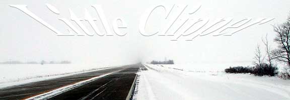
| Weather systems that are generated in a specific location often get named after the source. In this case warm wet Pacific air mixed to form a large low pressure area that marched Swiftly from Calgary along the US border. Its resulting winds and precipitation raised havoc all across the Southern prairies but only produced fringe results in Saskatchewan's northern prairie. For this reason we are referring to this Alberta Clipper as a "little clipper." |
|
|
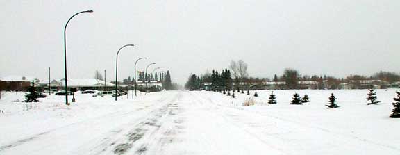
| Around four in the afternoon this is how Tisdale looked as you peer past the hospital looking East. But out on the highway visibility was only mildly impaired the only real danger being those cars stumbling along with their lights out. The highways were swept clean but driveways and side roads did get filled in. The town's grader was out doing night duty at 5:00 AM this morning clearing the streets of the build up that had blown into town and decided to stay for a while. |
 |
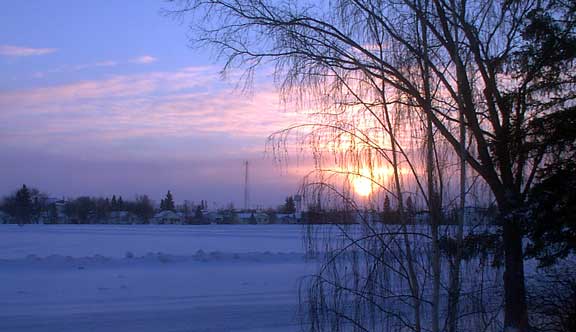
| Temperatures reached up to -15 C during the passing of the storm but quickly descended as cold high pressure air blasted in behind the disturbance late Tuesday evening. By midnight temperatures were around -25C and today at -29C but now accompanied by 12 knots of drilling North wind. The picture below was taken at about 9:45 and shows the sun trying to drive through the remnants of the the Little Clipper as it heads East to mess up Chicago, and Detroit then head on to dump rain on Virginia. |
 |