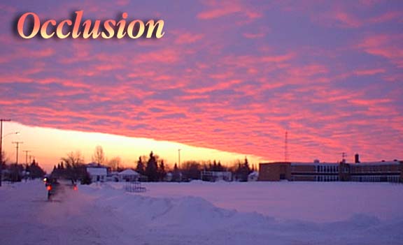
This phenomena shown in these pictures is called an "Occlusion". As you can see there appears to be a diagonal line or wedge of light below the cloud formation. This is not an optical illusion but rather it is actually what is happening. Cold air as you know is substantially heavier then warm air and the air mass sitting on top of us this morning was -14 which though not really cold is substantially colder then the air to the South. A large low pressure area is located to the
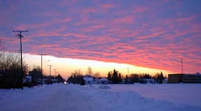
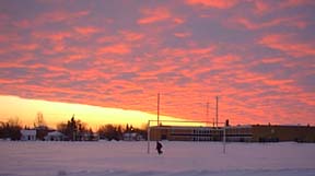

So this morning's beautiful sunrise is actually warm air riding along over the cooler air below forming the wedge of light along the horizon. For aviators the conditions this morning are a bit dangerous because that water vapour becomes super chilled and aircraft flying through it will experience moderate icing.
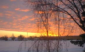
The reflection of this morning's sunrise is shown at left.