|
|
|||||||||
Bit of a storm |
|||||||||
| FTLComm - Tisdae - Wednesday, January 10, 2007 | |||||||||
|
|||||||||
 |
|||||||||
t
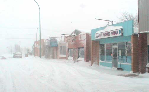
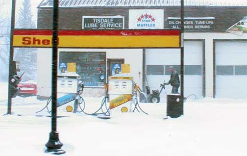
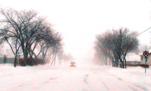
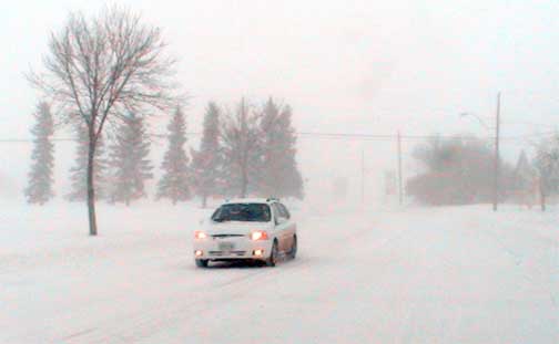
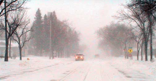
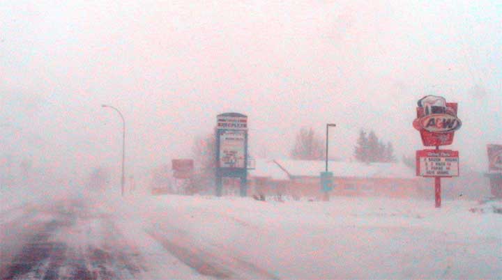
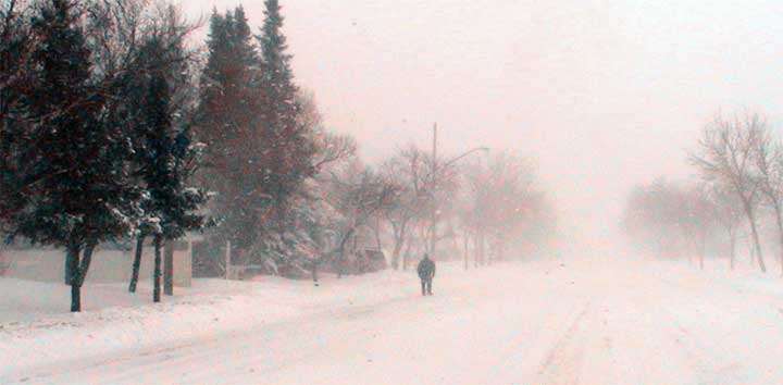
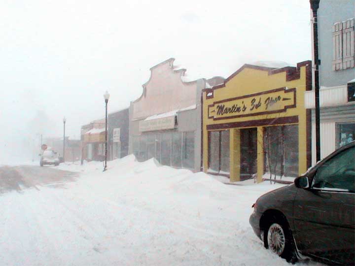
later it was difficult to see across the street. CBC's morning show had pointed out the serious nature of the storm in the Saskatoon area and that it was to spread across the province north of the Yellowhead highway. Clearly, everyone had taken heed of the advance warning and Tisdale's school buses stayed at home. Just before two I drove downtown in a failed attempt to go for lunch at the new restaurant but indeed it and many other businesses closed for the day. It was like the middle of the night downtown with snow swirling around and one or two cars on the snow choked street. The grader was making a valiant attempt to keep the main streets open but through the afternoon a lot of snow was coming down and just as much swirling around with the north wind behind it so that as you can see in these pictures taken about 2:15 the visibility here in town was much less than a block. This storm is one of those transistional storms between a strong low pressure area and warm southern air slamming up against a solid wall of cold air in Northern Saskatchewan. The high differential between the temperatures and the pressure produces the wild wind that is busy transporting the newly falling snow. It was interesting to note that the temperature in the southern part of the province remained just below freezing while here in Tisdale the temperature remained around -21º all day. Apparently it is really much colder north as during the night we should see the snow stop falling, the wind go down and the thermometer head for the bottom. With the very warm water in the Gulf of Alaska storms of this type are likely to be repeated as wet warm air chugs over the mountains and encounters slabs over frigid arctic air over the northern prairies. This is an El Nimo year (the last El Nimo was in 1998) and though that is suppose to produce very dry conditions at this latitude as it did the last time it occured there is no reason for that pattern to be repeated as the intensity of the warm Pacific current that flows along the equator and then turns north up the West Coast is substantial higher that it has been in the past. We can expect some normal winter weather for the next week and at any time another bit of a storm might just roll on in from the west. |
|||||||||
 |
|||||||||
|
|
|||||||||
|
|
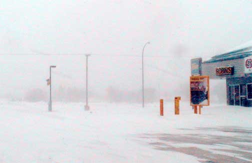 Remarkably Environment Canada issued the storm warning for this part of Saskatchewan yesterday morning. That is almost always a sure sign that no storm should be expected. Yesterday the sky was overcast but the wind calm for most of the day. When darkness came there was little change and it was not until just after nine this morning that the snow fall began to increase and the north wind began to blow. By 10:30 the SaskTel tower downtown vanished and a few minutes