 |
|
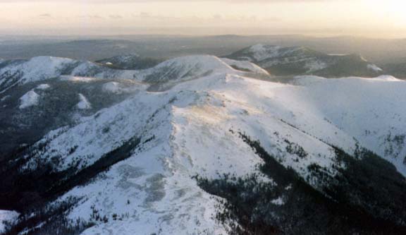
| This is a high look at the Horseranch, we are looking due South in this image from
over 10,000 ft. On the left is the Tintina Trench and to the right the valley leading
to Good Hope Lake. The Horseranch is smoothed down mountains unlike the jagged peaks
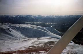
of the Cassiar range. The unusual image on the right is on the South end of the Horseranch and if you look carefully you will see a black pipe like object on a mountain peak. It is a lightning strike monitoring device used to spot possible forest fires. Perpendicular to Good Hope Lake is a tiny creek, Mcdame Creek, that runs down a narrow valley leading from the |
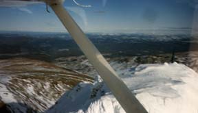 |
| town site of Cassiar. This entire valley is an active gold mine area with numerous
claims and source for some years the majoriity (Erickson Mine) of the gold mined
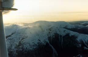
in Canada. Below left is a distant view of the Cassiar town site as we are over the asbestos mine site (which we may show you in a future article). On the right is a picture taken at another time from MUB our Cessna 182 but is of the same general area and has the unusual site of drifting snow on the mountain peaks. |
|
 |
 |